
Altadena Now is published daily and will host archives of Timothy Rutt's Altadena blog and his later Altadena Point sites.
Altadena Now encourages solicitation of events information, news items, announcements, photographs and videos.
Please email to: Editor@Altadena-Now.com
- James Macpherson, Editor
- Candice Merrill, Events
- Megan Hole, Lifestyles
- David Alvarado, Advertising


Monday, October 13, 2025
Early-Season Storm System Poised to Slam Southern California Monday Night Through Tuesday
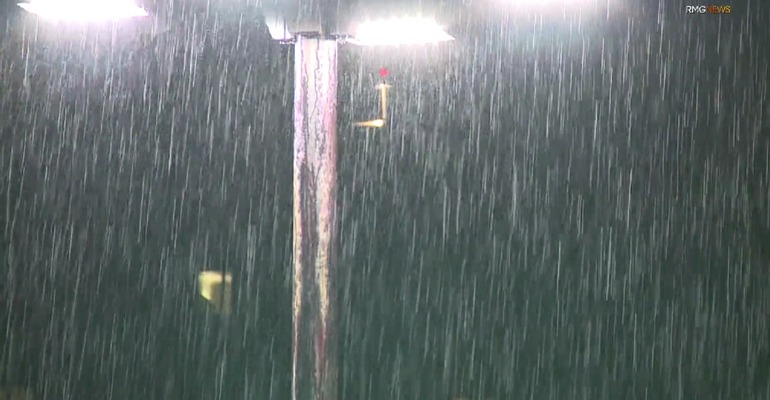
A very early-season storm system is forecast to sweep across Southern California beginning Monday night, bringing the potential for heavy rainfall, embedded thunderstorms, and localized flooding, particularly in areas with recent burn scars, according to the National Weather Service’s Los Angeles/Oxnard office.
The system is expected to peak between 10 p.m. Monday and 10 p.m. Tuesday, Oct. 13–14, with rainfall totals ranging from 0.5 to 2 inches across coastal and valley areas, and up to 4 inches in the mountains and foothills. Rainfall duration is expected to span 6 to 8 hours. Forecasters warn of possible debris flows, shallow flooding, and traffic disruptions, especially in urban areas and along vulnerable slopes.
County-level peak rainfall timing and hourly rates include:
Los Angeles County peak rainfall from 9 a.m. to 6 p.m. Tuesday is expected at 0.15–0.50 inch/hr, with isolated rainfall of 0.80 inch/hr, especially in western portions
There is a 10% chance of isolated rain rates reaching 1 inch per hour, and forecasters note concern for high sub-hourly rain rates in 15- to 30-minute bursts. Flood Watch decisions may be considered as early as Sunday.
Thunderstorm activity is most likely from Ventura County northward, with a 20–40% chance in San Luis Obispo, Santa Barbara, and Ventura counties, and a 10% chance in Los Angeles County. Hazards include brief heavy downpours, strong to locally damaging wind gusts, dangerous cloud-to-ground lightning, small hail, and a remote chance of rotating storms capable of producing isolated waterspouts or small tornadoes.
South winds are expected to gust between 25 and 45 mph during the storm, and high-elevation mountain snow is possible.
The Weather Service emphasized that while the range of outcomes is narrowing, this remains an evolving situation and forecasts should be closely monitored.
Ahead of the storm, elevated fire weather conditions are forecast through Sunday, Oct. 12, with gusty northwest-to-north winds turning northeast by Sunday. Hazardous marine and driving conditions and isolated power outages are possible.
Altadena Calendar of Events
For Pasadena Events, click here