Altadena Now is published daily and will host archives of Timothy Rutt's Altadena blog and his later Altadena Point sites.
Altadena Now encourages solicitation of events information, news items, announcements, photographs and videos.
Please email to: Editor@Altadena-Now.com
- James Macpherson, Editor
- Candice Merrill, Events
- Megan Hole, Lifestyles
- David Alvarado, Advertising


Friday, May 15, 2015
Second Wave of Cold Front Expected Friday, More Rain With It
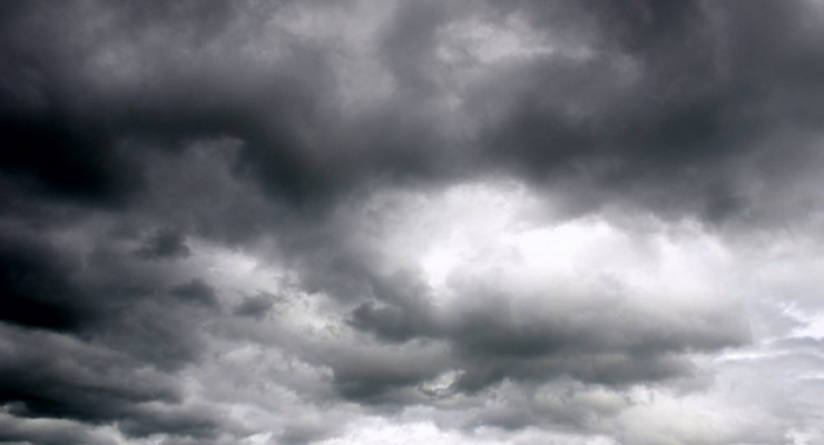
The unseasonably cold storm system that swept in Thursday will linger over Southwestern California all day Friday. Friday’s weather will bring more showers and possibly thunderstorms, the National Weather Service said, in a copy of the weather that swept across the Southland on Thursday afternoon. The high is expected be about 64. The chance of precipitation is ranked at 80%.
This second wave will be stronger and bring most of the week’s precipitation to Los Angeles County on Friday. There will be wintry driving conditions for the local mountains with snow levels as low as 5,000 feet. With the cold air mass aloft there is a potential for isolated thunderstorms with dangerous lightning, small hail, gusty and erratic winds and isolated waterspouts.
Rain could begin to let up Friday night, with only a 20 percent chance of showers before 11 p.m. The night will be mostly cloudy, with a low around 54. Southwest winds at 5 to 10 mph will become light south southwest in the evening.
Saturday will be mostly sunny, with a high near 68. Saturday night will have a patchy fog after 11 p.m. Otherwise, mostly cloudy, with a low around 55.
Road closures shown below were issued late Thursday afternoon.

Altadena Calendar of Events
For Pasadena Events, click here